
Willem Van der Stel – governor of the Cape Colony – divided the “Land of Waveren”, comprising Riebeek Valley and Tulbagh today, into several large farms in 1704. One of which was Clovenburg, granted on loan-place to Jan Botma.
The name roughly means “place in the ravine”. Dutch terms such as the names of people and places were gradually transformed into what was more acceptable in Afrikaans, for example, “C” changing to “K”. Hence the farm’s name since adapted to “Klovenburg” and then “Kloovenburg”. It also held the name “Botman’s Kloof” during the 1800s.
The land granted was 60 acres 160 sq. meters stretching along the eastern strip Riebeek Kasteel from the mountain and Bothmaskloof Pass, through Twist, part of the village, and down to and including Vleitjies. The old towpath from Cape Town to Roodezand (now Tulbagh) used over Bothmaskloof went through the mountain pass at Jan Botma’s farm.
A requirement for farms granted on loan-place was that they provided preferential trade to the colony and its ships based in Cape Town. Botma swiftly received a hunting and grazing license which enabled him to raise cattle and hunt wild antelope on his farm, both for his sustenance and for trade with the colony.
Being an experienced wine farmer originating from Welgevalle, Botma had little trouble setting up vineyards on the sloped and fertile land; which enabled subsequent farmers of Clovenburg to produce sweet wine and brandy by 1750.
Although relatively old, the long rectangular barn that currently houses the shop at Kloovenburg is the newest of the buildings remaining on the farm. The originally H-shaped homestead sitting to the west of the barn, which is currently the private home of the owners, exhibits interior features of fine woodwork such as the wall-cupboard with gabled cornice and star-inlays; indicating that the building predates the 1800s. The H-shaped homestead underwent extensive alterations in the 1860s, masking its original state and appearance.
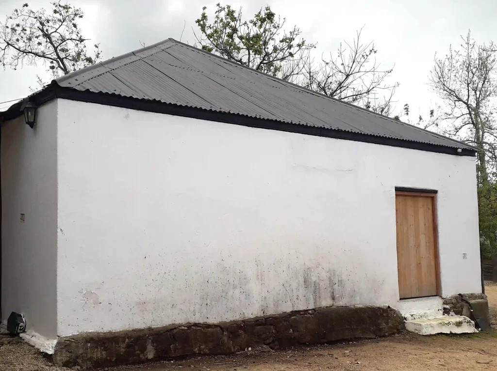
Behind and to the north of the rectangular shop, sits a modest and almost square barn structure with its original exposed stone foundations, clay walls, fireplace, and oregon pine roof structure. This barn was likely used for farming activities and its makeup is similar to other old barns and structures of the early 1800s throughout the valley.
Before his death, Jan Botma had also purchased Zonquasdrift; and upon his death, he left both farms to his wife: Christina “Stintjie” de Bruijn. When she passed in 1724, Clovenburg was transferred to Wouter de Vos of Libertas, while Zonquasdrift was given to Stintjie’s freed slave originally from Angola, Jan Jacobsz.
For the next half of a century, Clovenburg was transferred between multiple owners until the division of the land began in 1780 under Jacobus de Villiers’ ownership. Lower parts of the farm were divided into smaller farm lots, including Twist, Dagbreek, Morester, and Vleitjies. Most of the eastern side of the village of Riebeek Kasteel today, including The Oldest House, sits on the original extent of Clovenburg.
For a more detailed history and timeline, visit Kloovenburg – Our Story.
Off The Track
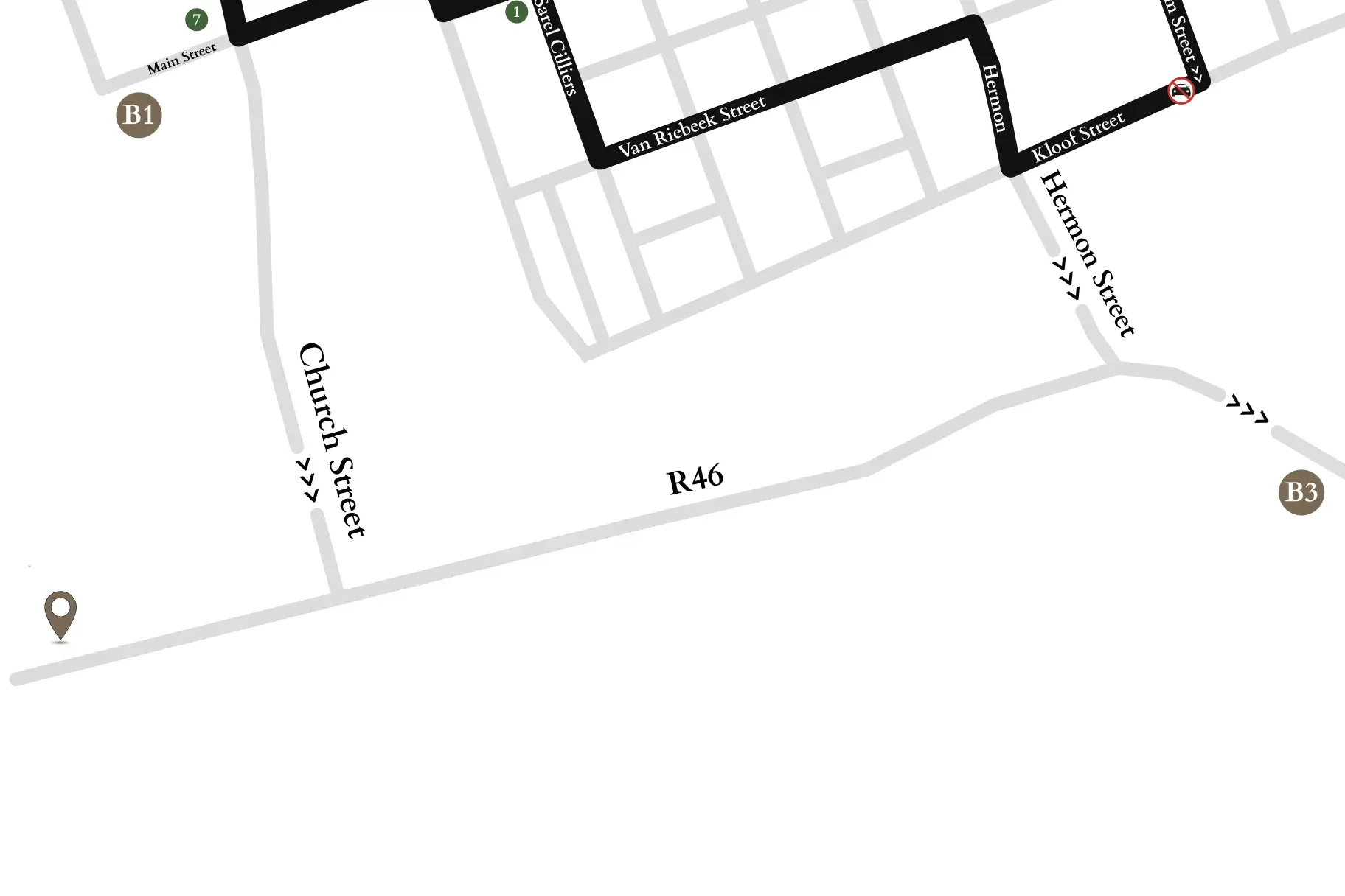
Return to the R46 and head east, passing the turn-offs into Riebeek Kasteel and continuing towards Hermon. After travelling about 3km and shortly following the Waterbron farm signboard you will see the Post Tree on your right-hand side.
